Maps
Since use of USNG is particularly helpful in emergency situations, reference maps that cover large areas are valuable items to have in hard copy and/or in electronic format, especially when they show the locations of political boundaries, aerial imagery and other important features, such as hospitals. Below, find links to maps that include the USNG grid as a reference system.
Federal USNG Formatted Maps
 |
US Topo – The U.S. Geologic Survey (USGS) provides online digital 7.5-minute digital quadrangle maps for the entire country for free. The US Topo series is provided in GeoPDF® format which can be actively used in electronic form with a GPS unit, or printed to hard copy. These topographic maps use the USNG as the grid system. |
State USNG Formatted Maps
Find below links to state systems for the distribution of mapping products which include the USNG. Currently, only the states of Iowa and Minnesota provide a comprehensive series of USNG maps for the entire state. These maps provide a general orientation “overview” based on National Agriculture Imagery Program (NAIP) aerial imagery referenced to 10KM (kilometer) grids. At a minimum, they include the location of schools, hospitals, fire and police stations, roads and political boundaries as of date of production.
 |
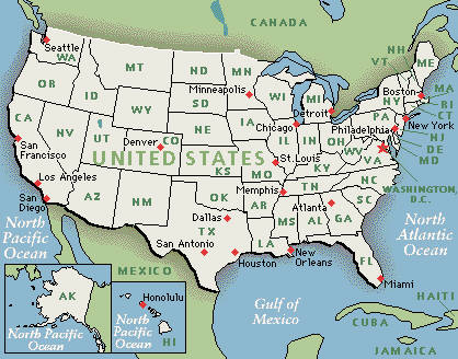
Click on state names to see respective state maps.
|
Commercial USNG Formatted Maps
Find below links to commercial map products which include the USNG.
 |
As the USNG Information Center becomes aware of commercial map products which incorporate the USNG, they will be made known here. |